Evidence for a healthier Dar seascape
The northern Benthic Ecological Survey (BES) is the Dar es Salaam-anchored half of ASUTA's contribution to the USAID Heshimu Bahari Activity. It established a high-resolution baseline of benthic habitats - coral, seagrass and seabed substrates - across the Dar es Salaam Marine Reserves System.
Scope
The northern survey engaged local government authorities and protected-area managers across the Dar es Salaam seascape:
Approach
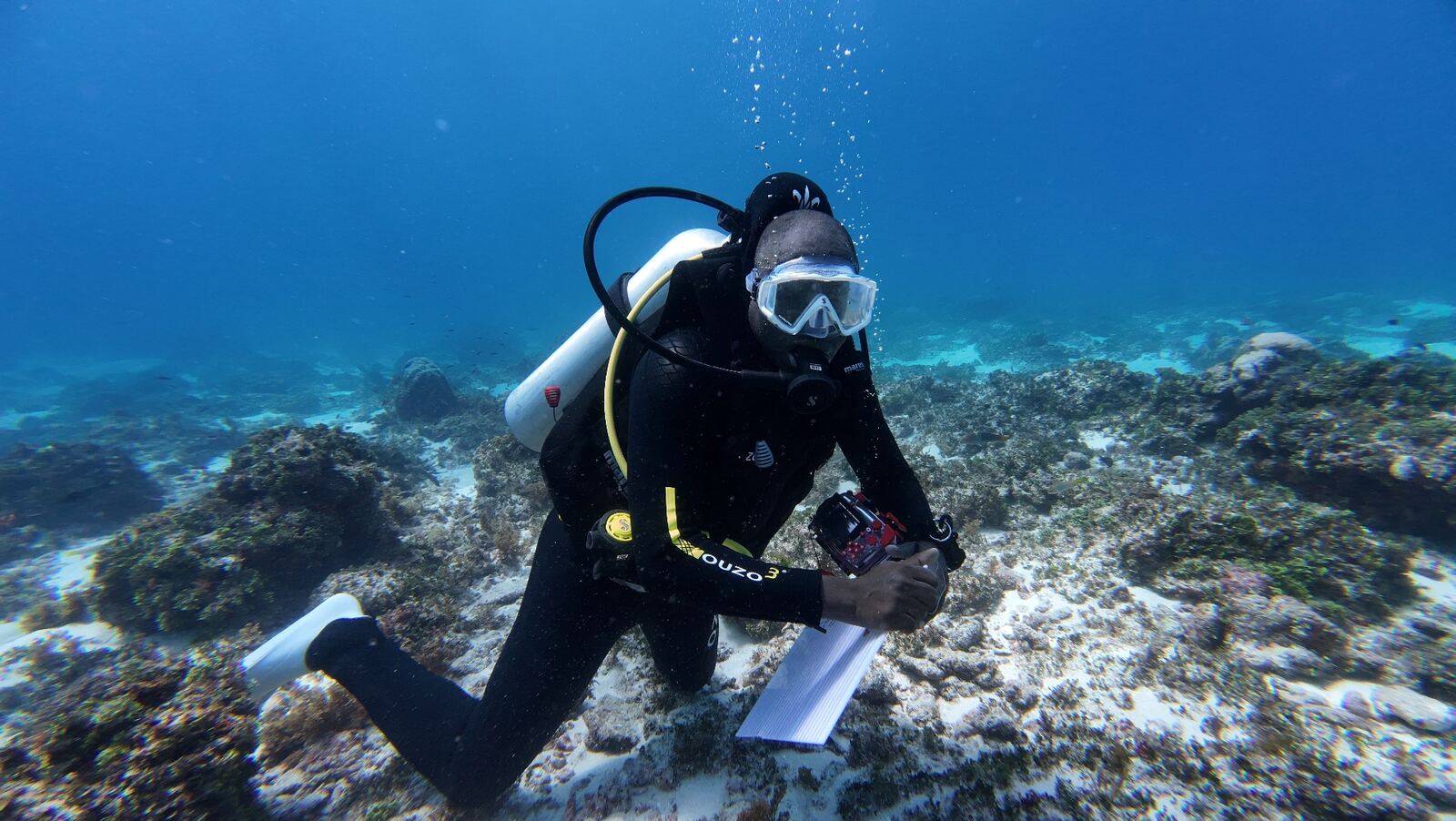
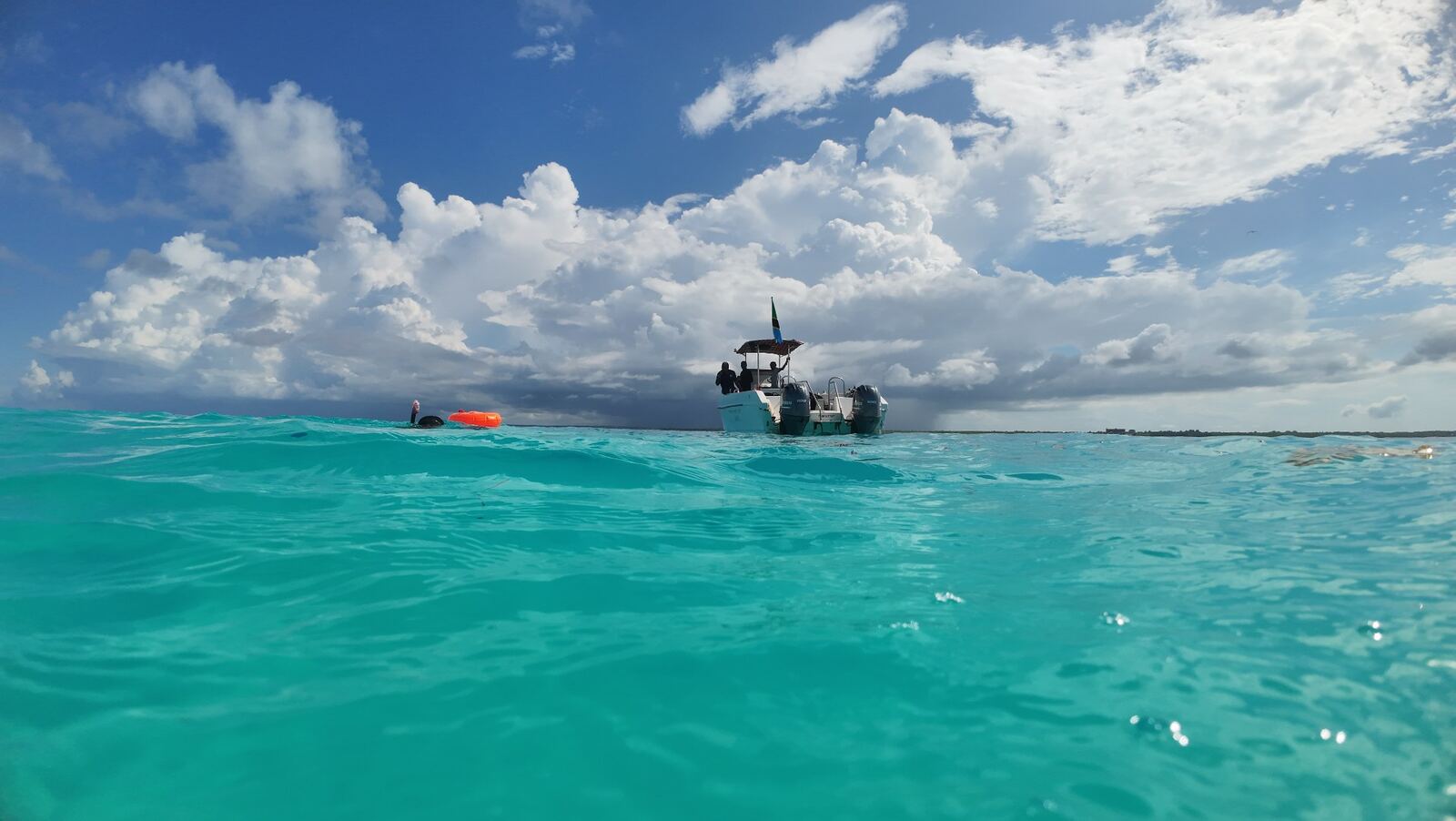
ASUTA deployed marine scientists and short-term technical consultants to execute the survey along a standardised 1,000-metre grid protocol, photographing benthic habitat below the 50-metre depth contour. Imagery was processed and uploaded to Coral-Net for collaborative annotation.
2,156 high-resolution benthic grids were captured along the northern coast - building the first systematic baseline of seabed condition across the Dar es Salaam seascape.
Strategic outcomes contributed to
Resilient biodiversity conservation across the Dar es Salaam Marine Reserves System.
Strengthened community co-management of MMAs and wild-caught fisheries.
Better integration of marine science into management decisions.
A defensible baseline for monitoring change over time.