Mapping the southern seabed
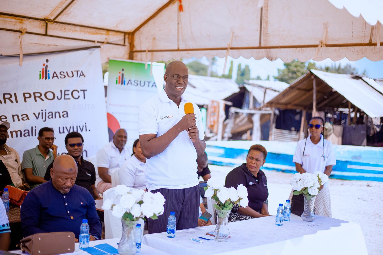
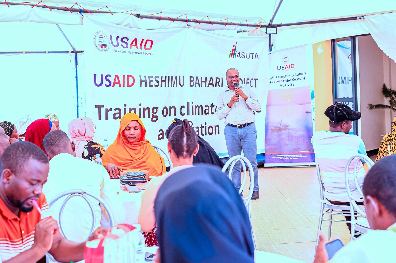
The Benthic Ecological Survey (BES) on the southern coast is a scientifically-focused component of the USAID Heshimu Bahari Activity. It generated foundational evidence on benthic habitat health to inform Marine Managed Area planning and fisheries policy in southern Tanzania.
Scope
The southern survey covered four district local government authorities together with marine protected areas in the region:
Approach
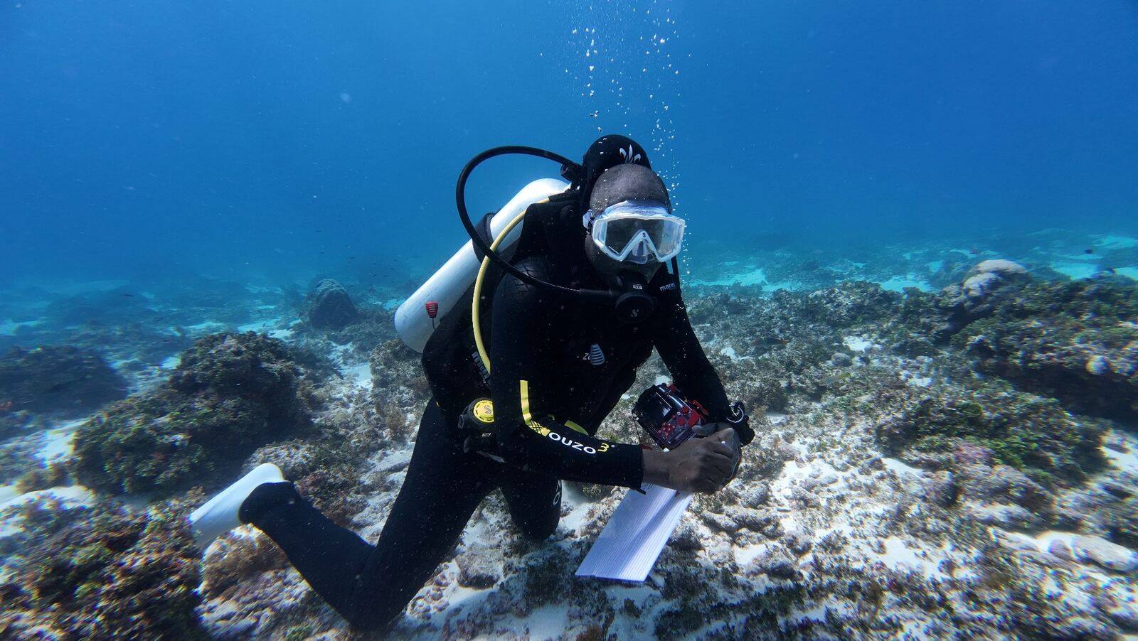
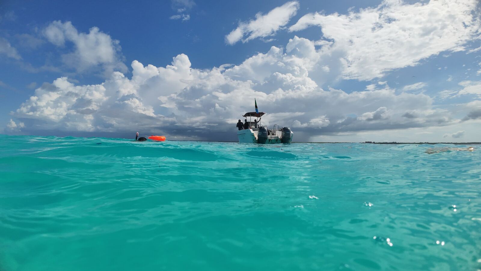
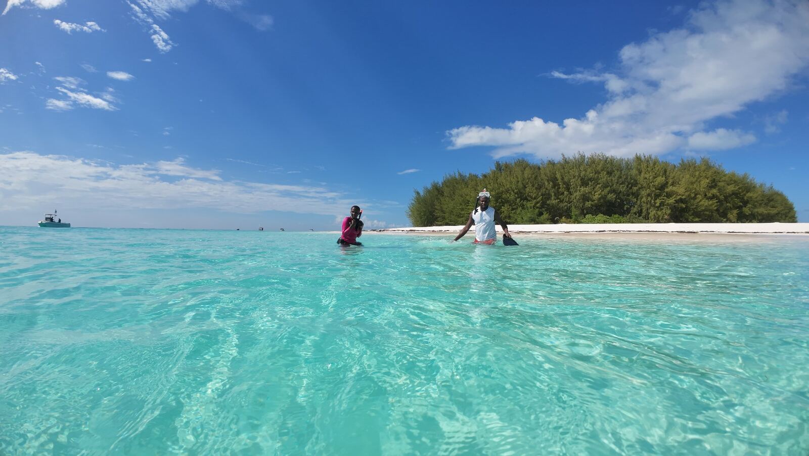
Given the scientific nature of the work, ASUTA enlisted short-term consultants with deep expertise in marine science. The team worked across a structured grid sampling design, capturing benthic habitat photographs in a 1,000-metre interval grid at water depths below 50 metres.
6,737 high-resolution benthic grids were captured along the southern coast - uploaded to Coral-Net for annotation and ecological analysis.
Strategic outcomes contributed to
Strengthened enabling framework for a network of MMAs and Fisheries Reserve Zones.
Improved integration of science into MMA and fisheries policy and management.
Climate-resilient biodiversity conservation evidence base.
Expanded private-sector investment opportunities in wild-caught fisheries.